Trending Now
- “Unfortunately, since I contested under the Rising Sun symbol, I could not extend my support to TVK.” – Durai Vaiko
- “I engaged in horse-trading, is it? An evil force and an exhausted force joined hands and plotted to form a government.” – CM Vijay
- “I will sit patiently and answer all questions in two days.” – Former BJP State President Annamalai
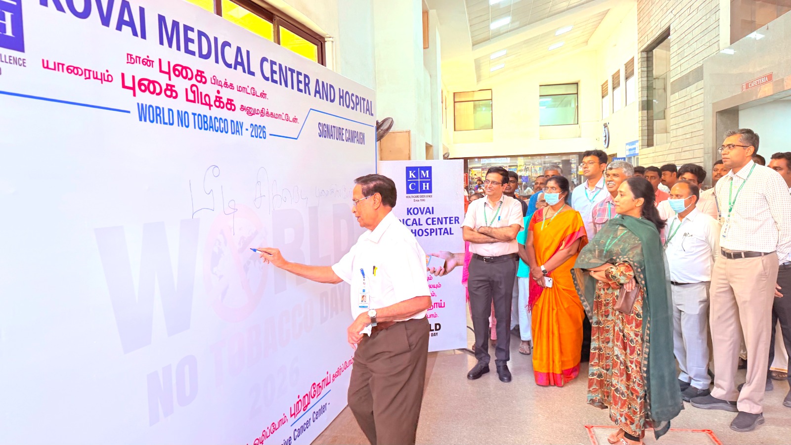
Coimbatore

ISRO successfully launches Cartosat series

![]() June 23, 2017
June 23, 2017
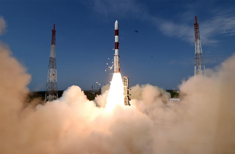

Chennai: The country had another moment of pride with another successful multiple satellite launch mission on Friday morning. It successfully put into orbit its own earth observation satellite Cartosat, NIUSAT from Nooral Islam University and 29 satellites of 14 countries.
The rocket Polar Satellite Launch Vehicle’s (PSLV) main cargo was India’s 712-kg Cartosat-2 series satellite for earth observation and has a design life of five years.
ISRO said the images sent by Cartosat satellite would be useful for cartographic, urban, rural, coastal land use, utility management like road network monitoring, water distribution, creation of land use maps, change detection to bring out geographical and manmade features and various other land information systems and geographical information system applications.
Among the 30 co-passenger satellites is the Indian nano 15-kg NIUSAT of Nooral Islam University in the State. It will provide multi-spectral imagery for agricultural crop monitoring and disaster management support applications.
At 9.29 a.m. the 44-metre and 320 tonne PSLV rocket went up with fierce orange flames at its tail.
Gathering speed every second, it went upwards and down below, it left ISRO officials and the media team at the station in cheers.
ISRO chairman e rocket A.S.Kiran Kumar said it was a successful mission. The rocket is a four-stage/engine one, powered by solid and liquid fuel alternatively. At the rocket mission control room scientists were together watching the computer screens as the rocket escaped the earth’s gravitational pull.
Barely 16 minutes into the flight, the rocket ejected Cartosat at an altitude of around 510 km. It was followed by NIUSAT and the other foreign satellites.