Trending Now
- “If Edappadi Palaniswami permits, a thousand young members from the Virudhunagar district AIADMK are prepared to take up arms and engage in battle under my command.” – Former AIADMK Minister Rajendra Balaji
- “India is ready to deal with any counter-attack by Pakistan” – Wing Commander Vyomika Singh
- Central govt orders extension of CBI Director Praveen Sood’s tenure for another year
Coimbatore

Satellites to track sand mining, steps to curb man-animal conflict soon: Javadekar

![]() August 24, 2019
August 24, 2019
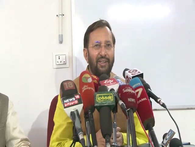

Coimbatore : Plans are afoot to detect illegal mining of sand across the country with the help of ISRO satellites and also augmentation of water and fodder in forest areas to prevent man-animal conflict.
Union Environment and Forest Minister Prakash Javadekar said on Saturday that the government planned to use satellite image technology by ISRO to map areas and rivers to check illegal sand mining. Javadekar told mediapersons at Salim Ali Centre for Ornithology (SACON) on the outskirts that with the help of ISRO technology, “we will know where sand is deposited and the State government can auction it. Thereby, mafia operating in this field can be avoided and a sustainable sand mining system put in place”.
On the issue of increasing man-animal conflict due to encroachment of forest areas, particularly elephant corridors and not abiding by HACA rules in Western Ghats, Javdekar said farmers had told him that unless enough water and fodder was provided in the foresta, animals would come out leading to such conflicts.
“From this year, we are asking States to take up water and fodder augmentation
in forest areas and prepare contour map and catchment treatment plan,” he said.
The ministry was releasing CAMPA funds to States, which had been pending for the last 15 years so that the States could take up the water and fodder augmentation, by which there would be no more man-animal conflict, he said.
On wildlife, the minister said, “We have doubled the tiger population before 2022 and in 10 years, we have more than 30,000 elephants and rhinos in thousands.
“Wildlife testifies our ecology chain; the pyramid is in good condition and we want to maintain the balance.”